State geologists appear one step closer to creating a statewide map showing where sinkholes are most likely to form.
Last year, Florida got more than $1 million in federal funding for a three-year study.
Professionals with the Florida Geological Survey visited about 230 locations, sampling and studying the land.
Their fieldwork contributed to a “relative vulnerability” map that so far has proved 93 percent successful in the pilot area in predicting that sinkholes will form.
The Florida Geological Survey and Florida Department of Emergency Management are collaborating on the study.
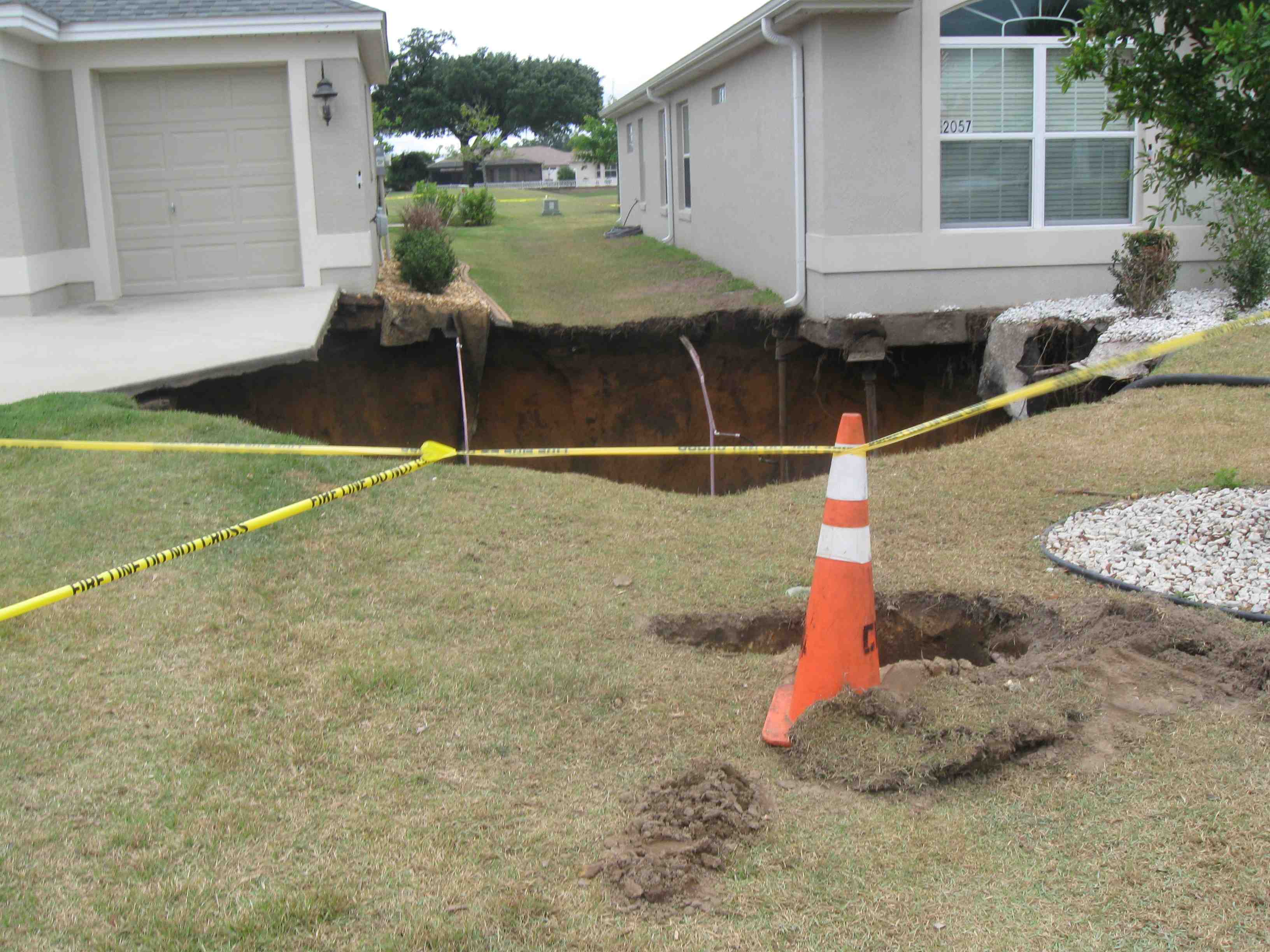
In April over the Easter weekend, a massive sinkhole opened up between two houses in the Village of Buttonwood.
Sinkholes are common in Florida because of porous rock underground such as limestone that holds water.
Over time, acid in the water dissolves the rock, creating a void. When the earth above the limestone gets too heavy, it can cave in, forming a sinkhole.